
|
I don’t know exactly what a zettabyte is but 94 of them represent the volume of data being produced in 2022. For comparison, that figure was 3.6 in 2008. Physiologically this is unsustainable unless our brains suddenly start to evolve to keep up--not likely. I lost count but I think it involves 21 zeroes. With 1 million petabytes in a single zettabyte, if a zettabyte was a year, merely 145 to 200 of them would stick us into the Mesozoic era. Why the focus on size? Often efficiency comes at a cost. If you are too tiny you can disappear. Similarly, if you become a behemoth, you run the risk of going extinct. Too much--everywhere--all at once. I am continuing the blog here but I have reverted to the free option at Weebly. As far as I can tell it simply shuts down a store that I don’t use and changes the link to the blog : https://datadonuts.weebly.com. More demands on my time makes me want to be more like the bee. I remain accessible. If you rely on a feed for your blogs that might need to be updated otherwise--I am still here. More than anything I simply want to share. I have been hanging out on Substack and these publications should continue to show up over there as well once I jitter a few settings. I like answering questions from the inbox in this forum. Let’s tackle a question about gathering image files. My answer is Google Earth Engine but I have about 6 different others I can consider. Hit me up on twitter if you want more in depth response but I think this is a good place to start. You will need to register for an account Google Earth Engine: I am a big fan because of the data catalog. Where are you going to store petabytes of data? No need to find out. I also use Copernicus Hub (Sentinel) and EarthExplorer (Landsat) but you are downloading those files onto your hard-drive. Good luck with that...although there is definitely a time and a place. 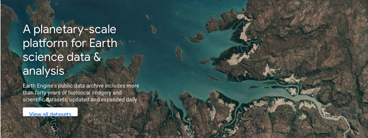 I am a python person but I don’t let the javascript console scare me. You shouldn’t either. If you find a dataset from the catalog and scroll down, you will see the javascript code. Pick any catalog item you are interested in exploring. Click open in code editor and hit run. 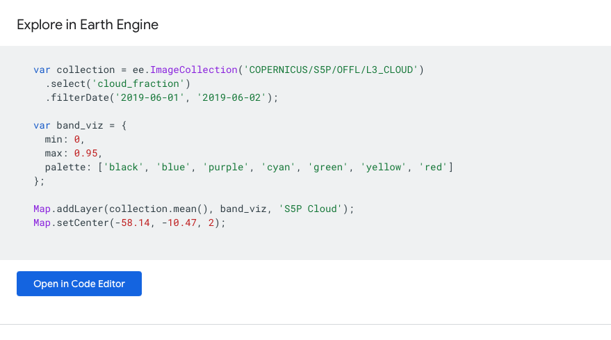 Once you draw a polygon on an area of interest you hit enter and run. You will now have a list of the bands in the image as well as the number of images available. These will be the specific images from your area of interest. 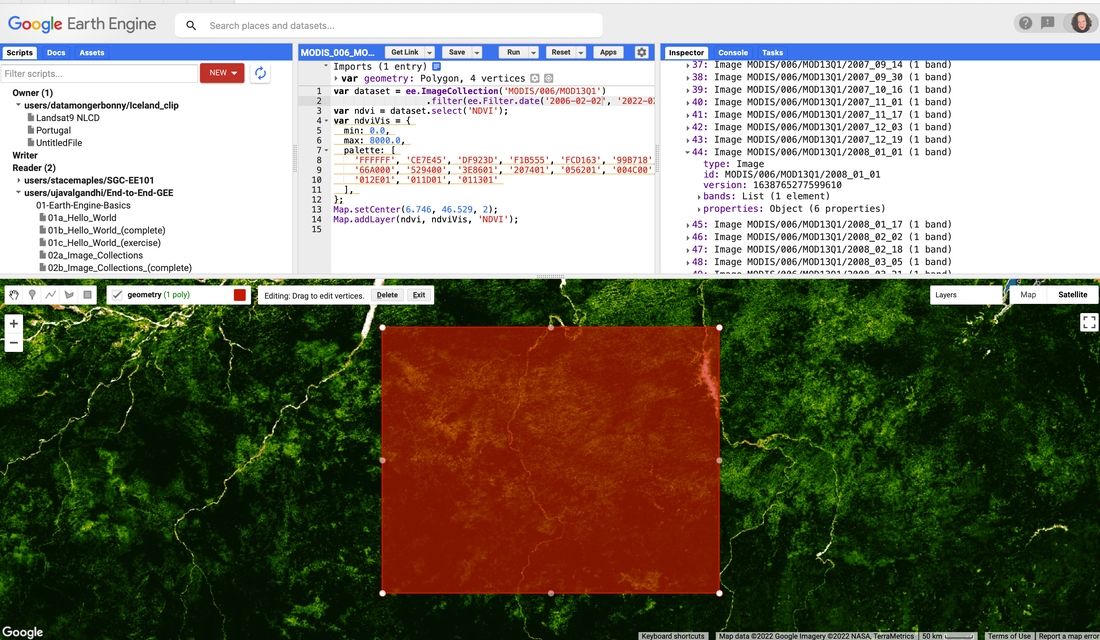 I use the image properties to import the images into my QGIS or Jupyter Notebook projects--without having to store them on my hard-drive! Size matters, especially when you are manipulating spatial data files. Be efficient but scalable... The quote below is acknowledgement that the British Empire at its largest was like a dinosaur therefore it did not last. Compared to a bee that although quite efficient, was lacking influence due to its diminished size. Britain's most useful role is somewhere between bee and dinosaur-- Harold Macmillan, Former Prime Minister of Britain. Comments are closed.
|
Sign up for our newsletter!
Browse the archive...

Thank you for making a donution!
|
